Geographic Information Systems (GIS)
RIM-Nat supports the import of geospatial data in the shapefile format, enabling the integration of GIS layers into 3D projects. This format is ideal for visualizing and analyzing geographic information, such as boundaries, infrastructure, and other spatial entities.
Supported Formats for GIS Data
Shapefile Format (SHP)
The shapefile is a standard format for storing vector geographic data. To ensure correct import, shapefiles must be compressed into a ZIP file containing all associated files, including SHP, SHX, DBF, and any other necessary files.
File Structure:
- The ZIP file must include all files associated with the shapefile (e.g., SHP, SHX, DBF) so that RIM-Nat can interpret the data correctly.
- Ensure that the shapefile is in the same projection system as the RIM-Nat project before uploading.
Preparation and Verification:
- Use software such as QGIS (free) to verify and, if necessary, adjust the projection system of the shapefile to match that of the project.
- The ZIP file should not be password-protected.
Supported Entity Types
RIM-Nat supports a wide range of geospatial entity types in shapefiles. These entities can include 3D (Z) coordinates for more detailed representation in 3D space.
Points
- Point: a single point entity in 2D.
- PointZ: a point with a Z coordinate (3D).
- PointM: a point with a measurement.
- MultiPoint: a collection of points.
- MultiPointZ: a collection of points with Z coordinates.
- MultiPointM: a collection of points with measurements.
Lines and Polylines
- LineString: a line or polyline in 2D.
- LineStringZ: a line or polyline in 3D with Z attributes for elevations.
- MultiLineString: a collection of lines or polylines.
Polygons
- Polygon: a polygon in 2D.
- PolygonZ: a polygon in 3D with a Z coordinate for each vertex, allowing for elevation representation.
- PolygonM: a polygon with a measurement.
- MultiPolygon: a collection of polygons.
- MultiPolygonZ: a collection of polygons in 3D with Z attributes.
Styling Options
Once the shapefile is imported, several styling options can be configured within the RIM-Nat portal:
- Borders: color and thickness of outlines.
- Fill: toggle fill on or off, with configurable color (including transparency).
- Source Shapefile Display: enables displaying polygons at zero elevation if data only contains XY coordinates.
- Draping: activates draping over the terrain to align the polygon with the ground in the absence of Z elevations.
- Metadata: accessible as a label at the center of the polygon, with expandable/collapsible data tree upon hover.
Altitude Management
Once a shapefile is imported into RIM-Nat, two altitude management options are available for 3D entity visualization:
Raw Coordinates: The original XYZ coordinates in the shapefile are used directly in the scene to display entities at the specified altitudes in the file.
- Usage: If the modeled data contains reliable Z information, it is recommended to use the raw coordinates for accurate representation.
Automatic Draping: The Z elevation is automatically adjusted based on terrain data provided by the RIM-Nat 3D globe, allowing entities to follow the terrain’s relief.
- Usage: If the shapefile does not contain Z information (common for 2D data), then automatic draping is the ideal option to position entities accurately on the terrain using only XY coordinates while accounting for the 3D globe’s relief.
Example of a structure with valid altitude data: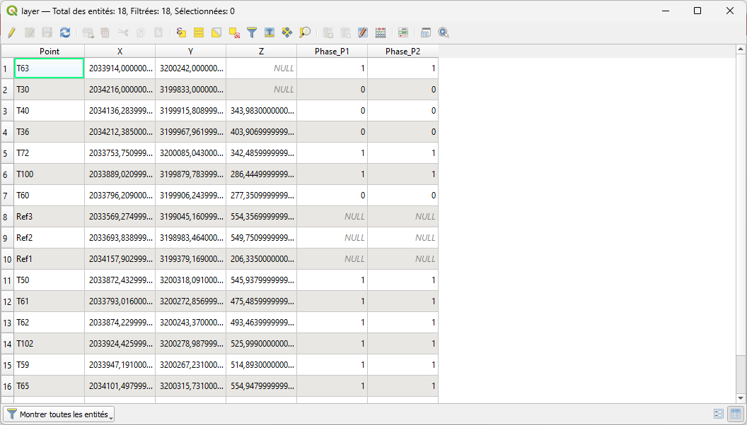
For any questions or further assistance, please contact RIM-Nat technical support.